

Pyg Track
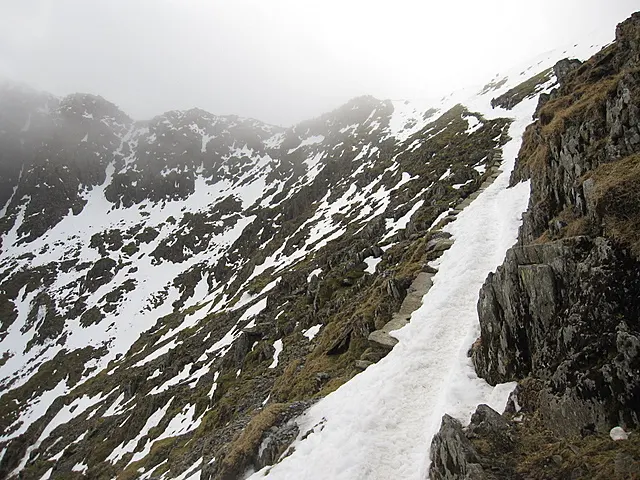
Technically the shortest of the main routes, which is another way of saying it gains its height quickly: roughly 3.1 miles for 700 metres of climb. It leaves Pen-y-Pass below the northern flank of Crib Goch, works through a set of zig-zags, and picks up the Miners' Track above Glaslyn for the final pull to the summit. Walkers commonly go up this way and come down the Miners', which returns to the same car park.
- Difficulty
- Mountain hiking grade. About 3.1 miles with 700 metres of ascent, steep for its length.
- Starting Point
- Pen-y-Pass Car Park (LL55 4NY)
- Welsh Name
- Llwybr y Mul
- Surface Type
- Rock
- Hazards & Notes
- The zig-zags turn slippery in icy weather. Parking at Pen-y-Pass is effectively impossible on the day; the Sherpa bus or a taxi from Llanberis is the usual answer.
Category: Hiking & Trails
Tags: classic, zig-zags, pen-y-pass, circuit
Coordinates: 53.0730961, -4.0780087
Part of The named paths to the summit of Yr Wyddfa
More in The named paths to the summit of Yr Wyddfa
Related collections
- Australia's long-distance walking tracks — Australia · 9 locations
- National Scenic Trails of the United States — United States · 5 locations
- New Zealand's Great Walks — New Zealand · 5 locations
- Scotland's Great Trails — Scotland · 14 locations
- The National Trails of England and Wales — England and Wales · 16 locations
- Table Mountain's named hiking routes to the summit — Cape Town, South Africa · 6 locations