

Kasteelspoort
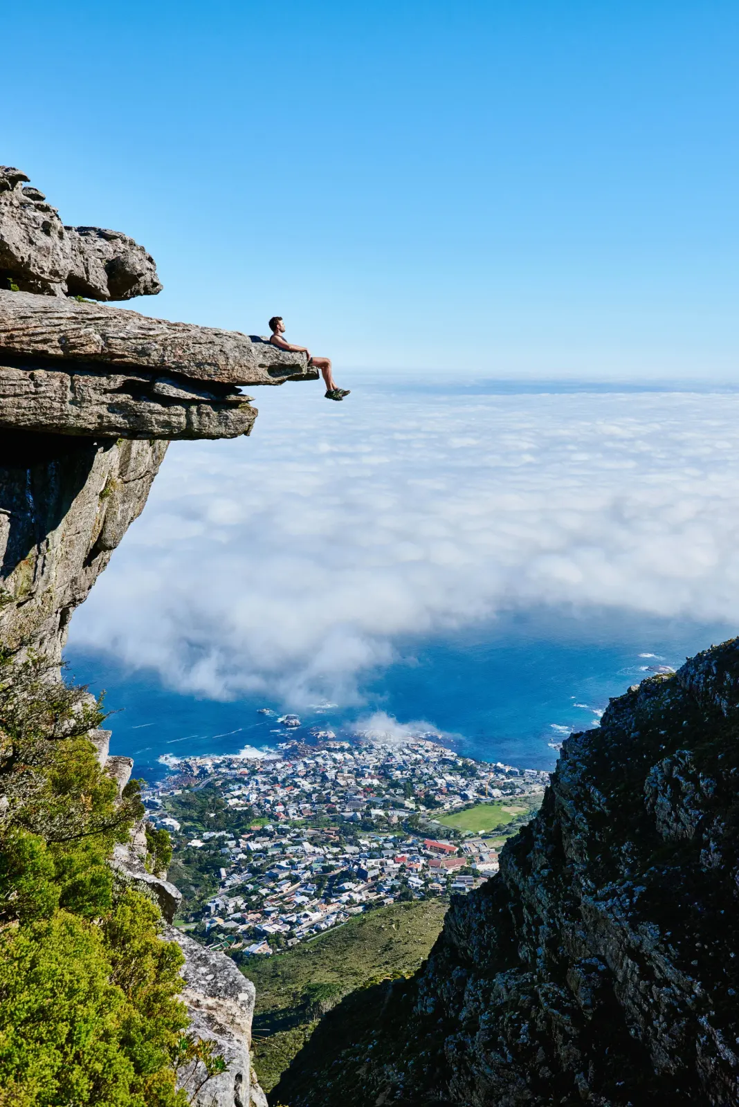
The Atlantic-side ascent, reached from Kloof Nek parking along the flat opening stretch of the Pipe Track before the climb proper. As a loop with the Diagonal route it runs 11.5 km with 680 m of elevation gain and about 3.5 hours moving time, on gravel and rocky footpath, boulders and rock stairs, rated 3 out of 5 for difficulty. The top comes out roughly 200 m from the Diving Board, the cantilevered slab left over from the old cableway era. A guidepost marks the junction; parking at Kloof Nek fills early, with overflow along Tafelberg Road.
- Route Name
- Kasteelspoort
- Route Type
- information
- Marked Hiking Route
- Yes
Category: Hiking & Trails
Tags: summit route, loop, diving board, camps bay, kloof nek
Coordinates: -33.9649032, 18.3893048
Part of Table Mountain's named hiking routes to the summit
More in Table Mountain's named hiking routes to the summit
Related collections
- Australia's long-distance walking tracks — Australia · 9 locations
- National Scenic Trails of the United States — United States · 5 locations
- New Zealand's Great Walks — New Zealand · 5 locations
- Scotland's Great Trails — Scotland · 14 locations
- The National Trails of England and Wales — England and Wales · 16 locations
- The named paths to the summit of Yr Wyddfa — Eryri (Snowdonia), Wales · 7 locations