

Grampians Peaks Trail
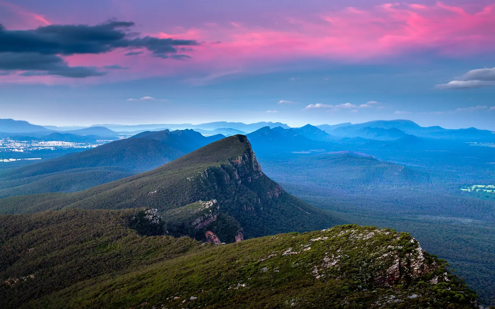
The trail spans Victoria's Grampians National Park from Mount Zero in the north to Dunkeld in the south, connecting peaks of the Grampians Range. It was laid out to take advantage of clifftops and mountain summits. Completion had originally been set for 2020 before it opened to the public.
- Opened
- 2021-11-12
- Length (km)
- 164
- Drawn from
- Mount Zero
- Drawn to
- Dunkeld
- OpenStreetMap relation
- www.openstreetmap.org/relation/11370594
- Where the length and date are published
- en.wikipedia.org/wiki/Grampians_Peaks_Trail
Category: Hiking & Trails
Tags: victoria, grampians, national park, peaks
Coordinates: -37.26476661393885, 142.59136815196817
Part of Australia's long-distance walking tracks
More in Australia's long-distance walking tracks
Related collections
- National Scenic Trails of the United States — United States · 5 locations
- New Zealand's Great Walks — New Zealand · 5 locations
- Scotland's Great Trails — Scotland · 14 locations
- The National Trails of England and Wales — England and Wales · 16 locations
- The named paths to the summit of Yr Wyddfa — Eryri (Snowdonia), Wales · 7 locations
- Table Mountain's named hiking routes to the summit — Cape Town, South Africa · 6 locations